Ireland
The CHERISH project: Investigating the impacts of climate change on intertidal wrecks
Anthony Corns1, Gary Devlin2, Sandra Henry1, Edward Pollard1, Robert Shaw1 and Linda Shine3 (1. The Discovery Programme, 2. Fingal County Council, 3. National Monuments Service, Dept of Housing, Local Government and Heritage)
The intertidal heritage of Ireland includes tidal mills, fish traps, landing places and shipwrecks that have long been exposed to marine processes but threatened more recently by storm surges and rising sea level. The EU-funded CHERISH (Climate, Heritage and Environments of Reefs, Islands and Headlands) project is developing field methodologies and toolkits to record, monitor and manage these sites in these dynamic coastal environments. Extensive use is being made of photogrammetric mapping unmanned aerial vehicles (UAV’s), bathymetric survey and geophysical survey to provide baseline surveys against which climate change impacts can be identified and quantified.
These investigations have included wreck sites on the sandy North Bull Island at the entrance to Dublin Bay that has grown since the construction of a harbour wall completed in 1824 blocked sand bar’s movement around the bay. The shipwreck inventory held by the Underwater Archaeology Unit has historical records of over 150 wrecks with 16 more precisely marked on the beach of old charts and maps. The construction of a pipeline uncovering shipwrecks and timbers regularly washed up on the beach shows the potential of this area. Archival research has been conducted to learn how the area was a concentration of wrecking, identify the wrecks, and how they have been managed since the 18th century. CHERISH survey results – beach profiles, GNSS mapping, UAV mapping and magnetic gradiometry – reveal the changing seasonal exposure of features in the intertidal zone and shifting location of loose timbers after storms.
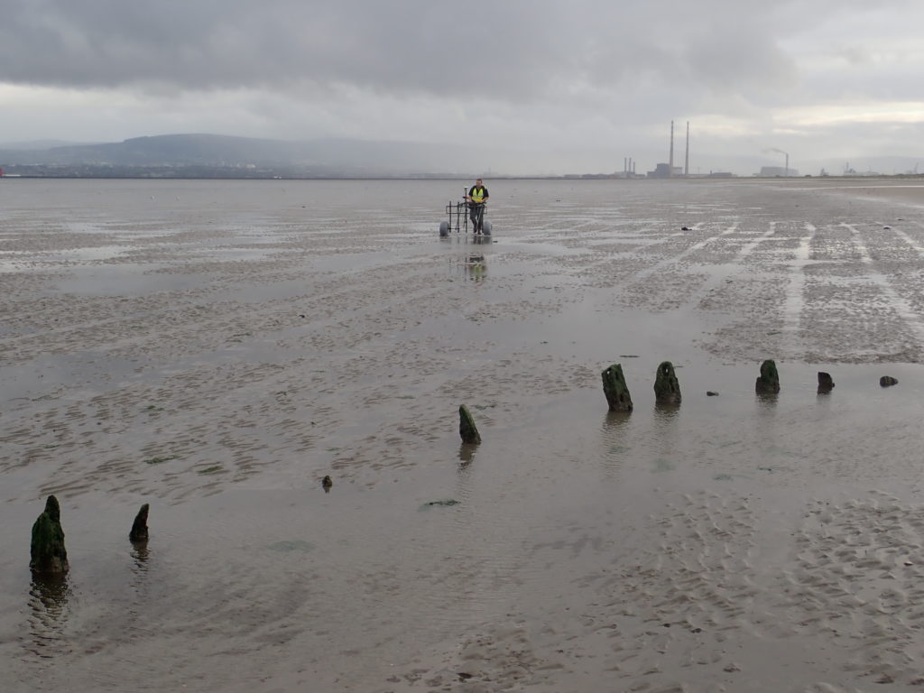
At Rossbeigh Beach in Co. Kerry, GNSS survey and Structure from Motion (SfM) measurement was conducted to monitor the wreck of the Sunbeam, a 19thC schooner, which was dramatically affected by winter storms during the duration of the project.
This paper will present our investigations in the intertidal zone of both Dublin Bay and Rossbeigh and show how they fit into the wider aims of the CHERISH project.
Top image: The wreck of the Sunbeam on Rossbeigh in September 2017, when visited and surveyed in the first year of the CHERISH project (Photo: The Discovery Programme)